
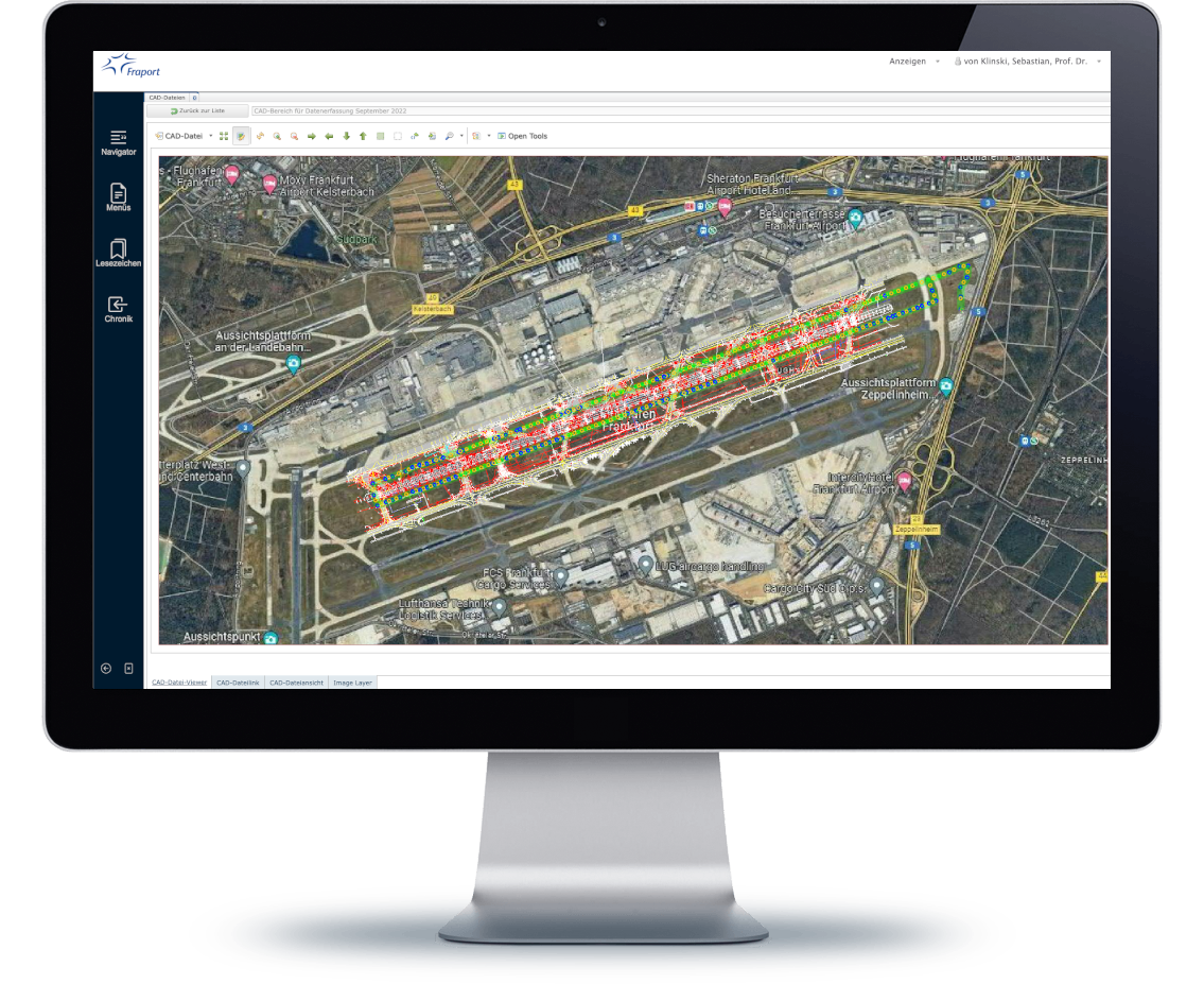
Combines maps for geographical context and CAD for detailed design, allowing stakeholders to see cabling within its physical environment.
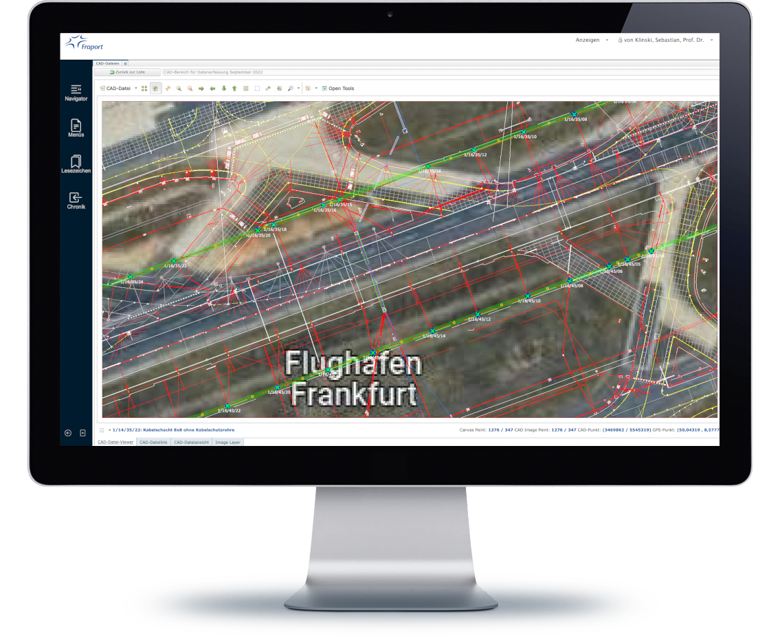
Facilitates quick location and understanding of cable routes, making it easier to identify and fix issues in complex networks.
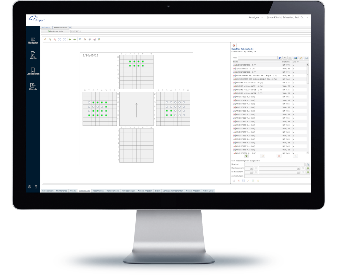
Provides accurate records for inspections, audits, and future modifications, ensuring adherence to safety and performance standards.